Pioneering development in data science, processing, and analysis techniques by 2Excel’s Insight division has built unique products that can guide environmental and critical infrastructure management decision-making globally.
Within Insight, our Geo business unit has been carrying out data capture, processing, and analysis to deliver Tree Risk Mapping for Britain’s railways behalf of Network Rail, and to deploy similar products into adjacent markets.
Geo is also developing scalable approaches to environmental challenges including the combination of airborne and spaceborne data for the detection and mapping of non-native invasive species at landscape-scale for in the UK.
The team provides end-to-end remote sensing solutions from data capture to data delivery and everything in between.
Our team of specialists has particular expertise in the acquisition and processing of hyperspectral imagery to support environmental applications, with a domain focus on forestry, ecology and environmental management.
We merge our expertise in airborne and spaceborne data analysis to provide cost-effective, high-performance products and services to our clients.
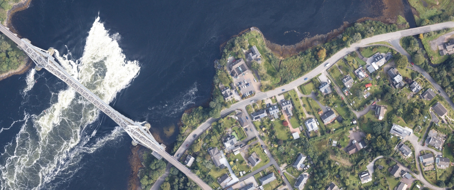
Our hyperspectral and true colour airborne platform enables collection over large areas at high spatial resolution.
Our custom algorithms and domain expertise extract meaningful insight and deliver outputs as usable datasets to support informed management and decision making.